Introduction
1Edit is a spatial vector data
We recommend you take time to understand the 1Edit Key Concepts first, as these will help you understand the workflow and uses of the product.
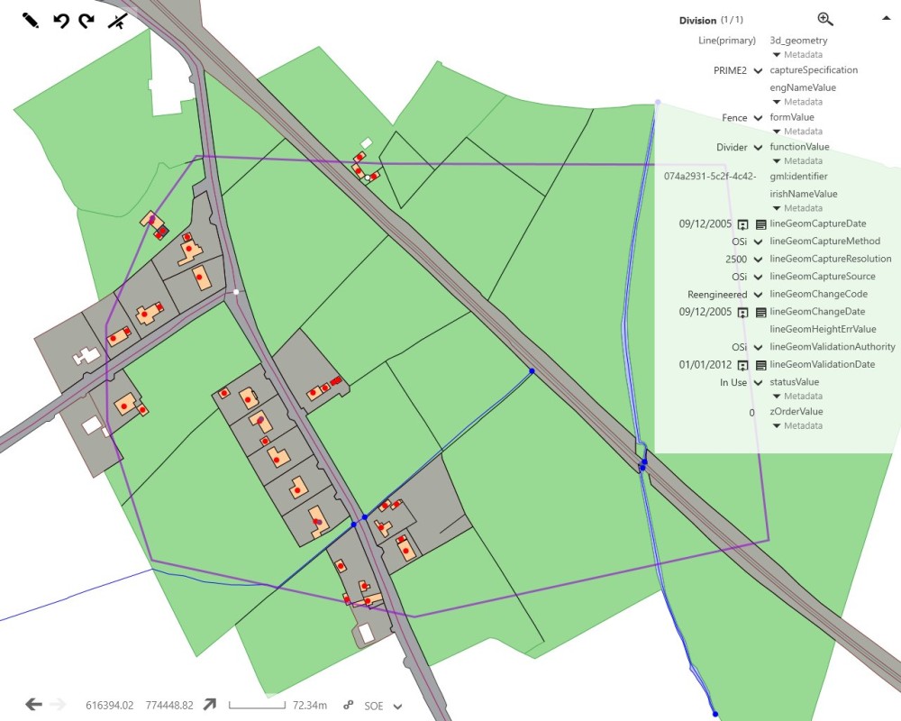
1Edit is a spatial vector data
We recommend you take time to understand the 1Edit Key Concepts first, as these will help you understand the workflow and uses of the product.


