Map Controls
The main workspace of the Plans screen is the map, until you choose to look at a specific plan, create a new one, or go to another tab. The Plans panel can be collapsed/expanded with the button at the top right of the panel.

The map can be navigated by left-clicking and dragging, rotated and tilted by right-clicking and dragging, zoomed in and out with mouse/touchpad scrolling, and interacted with using the buttons in the bottom right of the Map panel.
Keyboard controls include moving with the arrow keys, zooming in and out with + and - (hold shift to increase the zoom speed), hold shift or ctrl plus the left or right arrow keys to rotate the map, and hold shift or ctrl plus the up or down arrow to change the map tilt.
|
Button |
Description |
|---|---|

|
Resets the map grid orientation to North and the map tilt to 2D/"flat". |

|
Incrementally increases zoom level down to 200m scale. |

|
Incrementally decreases zoom level up to 100km scale. |

|
Zooms to comfortably fit the visible contents of a plan on screen. Only enabled while a Plan is open. |

|
This jumps the map to the location of the device that you are using. This is affected by using a VPN (Virtual Private Network). Note: This will not work unless you allow your browser to share your location. Note: Jumping to a location resets the map orientation. |

|
Opens/Closes the Jump To panel, allowing specific locations to be centred on the Map. Choose one of the four options in the table below and click Jump To to centre the map on that location. Note: Jumping to a location resets the map orientation. |

|
Opens the options for adding or removing information Layers. The Street Layers have filters for Speed Limits Special Designations, Reinstatements, Streets, and Roads. The POI Layers have toggles to show point of interest features such as Transport, Infrastructure, and Amenities. These include Bus Stops, Schools, Hospitals, Bridges, Tunnels, etc. The Boundary Layers have filters to show countries and local authorities. The Permits Layers have filters to show different permit types within a selection of date ranges. The Restriction Layers have filters for restrictions that are Proposed, In Force, Closed, and Cancelled. These can be further filtered with preset and specific date ranges e.g. "the next month". |

|
Opens the display options for the map. This includes the choice of basemaps (five OS map styles and an Aerial map) and a choice of flat or perspective views for Plan features. Show crosshair toggles the Map crosshair which denotes the centre of the current extents. Show 3D buildings, extrudes simple, transparent building geometry to the recorded heights on the map. This is not available on the Aerial basemap type. Warning: These geometries are simple and cannot account for complex details and features. As such, this show 3D Buildings should be used as a guide only and not a definitive source. |
|
Jump To options |
Description |
|---|---|
|
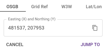
This requires an Ordnance Survey easting (X) and northing (Y) for a location in metres. |
|
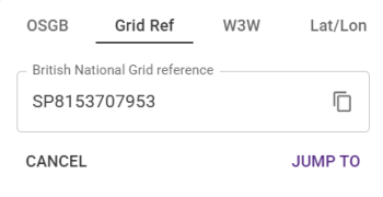
Enter an Ordnance Survey National Grid reference for a location. Note: You can enter up to a 10-digit reference with the 2 letter grid code, for example: TL4710161198 |
|
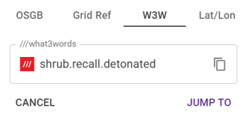
Enter the three words that make up a What3Words address, for example: quest.bike.lovely Note: This must be formatted with a period separating each word. Note: What3Words is a free online service that has mapped the entire world into a grid of 3 x 3 metre squares, which are each given a unique address made from three words. |
|
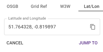
Enter a pair of latitude and longitude co-ordinates in decimal degrees. |
Look up location
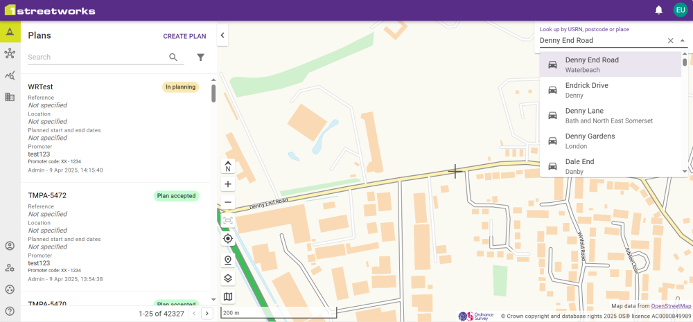
Alternatively, the Look up location search bar in the top right of the map panel allows you to type a USRN, town name, postcode, or street name. This displays a list of all matching results. Selecting a result centres the map on its location.
 minute read