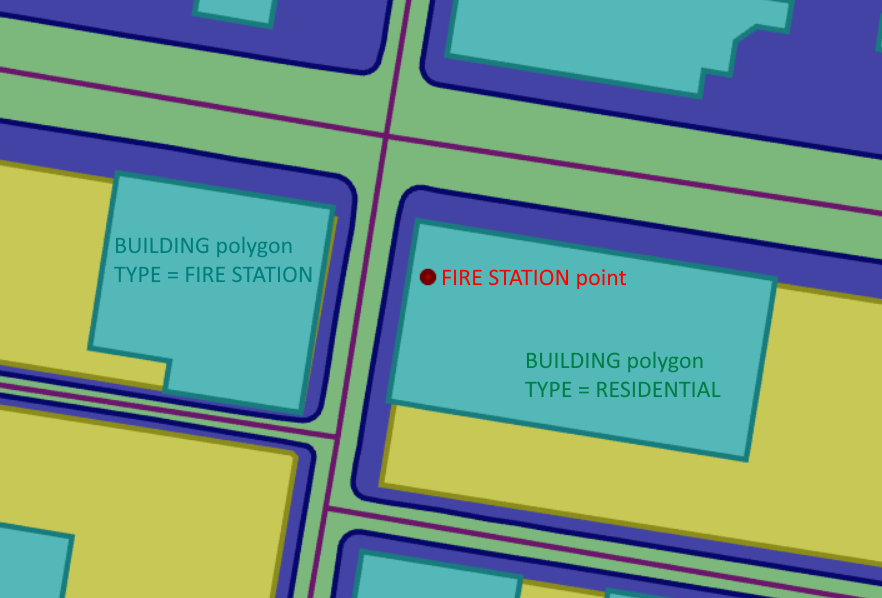
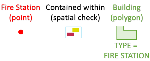
Next, we might decide that it's not good enough to know that our Fire Station point is located in any building... but that it must specifically be a Fire Station building.
We can write some rule logic that checks the "type" of building.
Adding this to our previous rule looks like this:
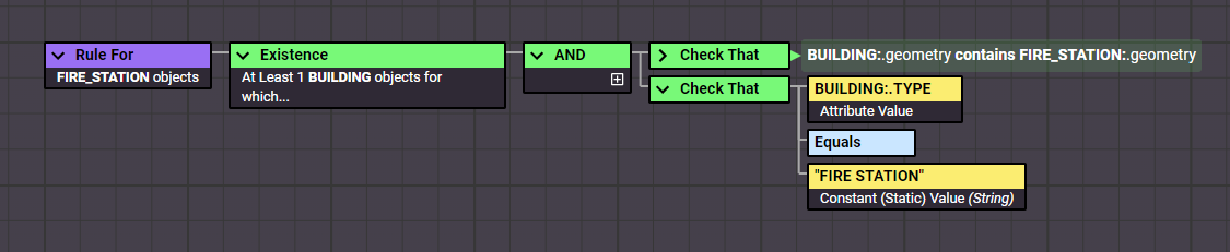
Notice how we write rules in a "positive" way - defining how the data should behave in a perfect world.
If we instead wrote rules in a "negative" way - defining exactly how our data shouldn't behave, we would be at risk of missing failures we didn't even know could happen!
For example, if we only said Fire Stations shouldn't be within Schools, we wouldn't identify any Fire Stations within Hospitals.
However, when we say Fire Stations should be in Fire Stations, we will identify Fire Stations in Schools, Hospitals, Residential buildings or anything else that isn't a Fire Station!
Our rules based approach means we can easily tweak our existing rule as we develop our definition of "good quality".
A few small amendments to our rule and we can run it again to check the differences.

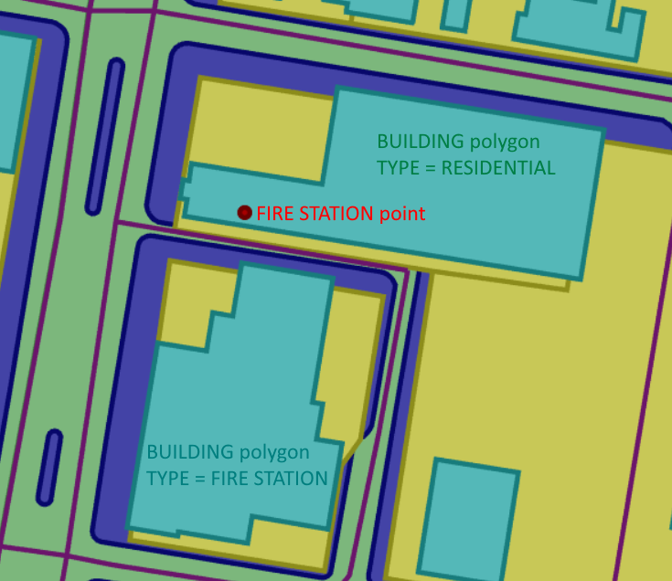
We now have more non-conformances, as our updated rule returns false for 3 of our Fire Station points.
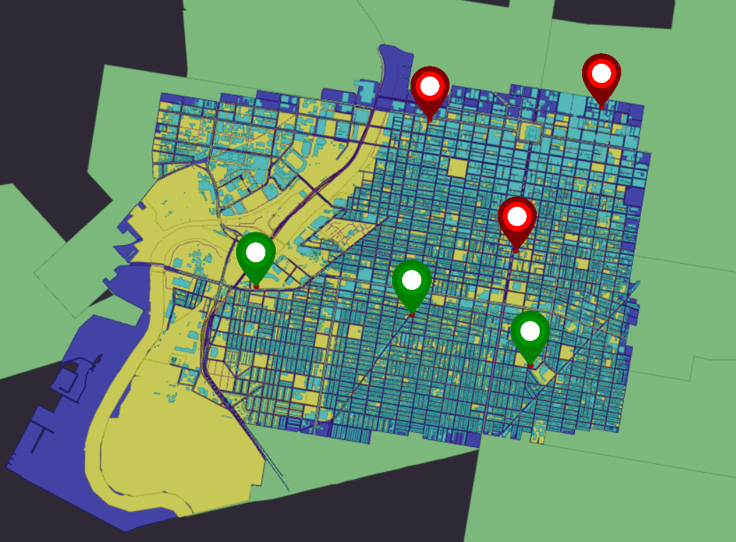
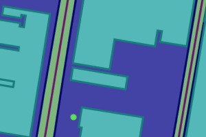
In addition to the un-contained Fire Station point we previously found; we can see that there are two points that are contained within residential buildings.