Northumbrian Water


Northumbrian saves £8.75 million with digital asset management and mapping
Northumbrian Water (NWL) provides water to 4.5 million customers in the north-east and southeast of England. It is also responsible for wastewater services in the north-east and has a 30,000km network of wastewater pipes, covering a geographic area of 9,500 square kilometres.
In 2011, the government transferred ownership of all private drains and sewers in England to local water companies. As a result, NWL assumed responsibility for an estimated 13,500 km of additional wastewater pipes. Information on this historic infrastructure, however, was extremely limited. Operational
Solutions Manager Clive Surman-Wells explains, “When we took over responsibility, there were very few records in existence. We carried out an extensive exercise to try and discover all the maps and plans that we could from local authorities and councils. At the end of the exercise, we estimated we had just five
per cent coverage.”
Head of Wastewater Networks and Developer Services Mike Madine adds, “The transferred network was a big unknown. There was very little information available on the make-up of the assets: materials, size of pipe etc.”
Mapping transferred assets to improve service and maintenance
Although very little information was available for the newly transferred assets, it was essential for NWL to understand the network. Without good knowledge, the firm would find it difficult to meet its regulatory targets for customer service and to plan effective maintenance and investment.
“Our initial approach to filling the knowledge gap was to adopt traditional surveying techniques,” Clive explains, “but we calculated it would take around 15 years to complete the missing information.”
It would be expensive, too: "This traditional approach would have cost us £10million in the first five years alone. Our plan was to apply learnings from the first five years to the remaining, unmapped portions of the
transferred network but, using the survey approach, it could have cost many millions more over the subsequent 12 years."
The timescale also meant it would be 15 years before NWL could plan efficiently for maintenance and investment for the transferred assets.
The prohibitive cost and timescale led NWL to look for an alternative solution.
Mapping missing data using rules-based inference
NWL decided to explore options for a digital solution. Taking some data from a wellmapped area of its network, the company asked potential suppliers to model the rest of the area. Clive explains, “We then compared each model to what we knew was in the ground. The accuracy of the model was our
basis for selecting a supplier.”
1Spatial won the competition with a solution built around its 1Integrate product.
1Spatial’s winning approach was to use available information to create a set of data rules to infer what the missing information should be. The 1Spatial team worked with NWL’s experts to create and test these rules; for example, that a property of a given age and construction would be likely to have a sewer of a particular type and location. Rules were created to infer important attributes including: location, construction, direction of flow and usage (i.e. what actually flowed through a given pipe).
Andrew Hopkins, NWL’s GIS and Positioning Technical Consultant, describes the collaboration:
"Working with 1Spatial on a day to day basis is great. The consultant to consultant relationships are excellent and we really enjoy sharing ideas and being innovative."
Dramatic savings in time and cost
NWL’s decision to take a rules-based, data-driven approach has dramatically reduced both the time and cost of the project.
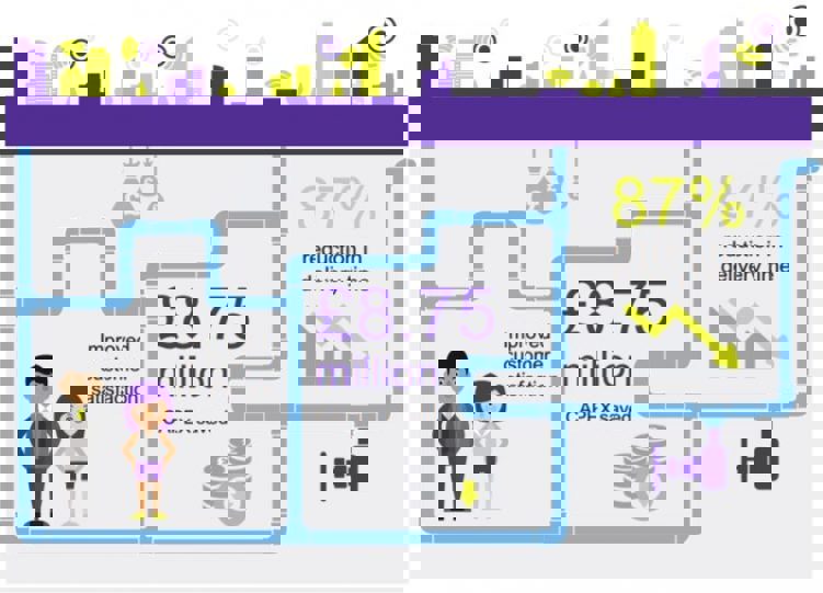
The cost difference is quite significant,” says Mike Madine. “Our original plan was to physically map just one third of the transferred network within our current, five-year asset management period. That would have cost £10 million. Working with 1Spatial, we’re able to deliver a map of the whole transferred network in just two years, for £1.25 million.
The £1.25 million cost, compared to the original planned cost for the first five years, represents an 87 per cent saving.
A faster route to even better customer service
By having the transferred network fully mapped in around 1/8 of the time, NWL will more quickly reach its goals of even better customer service and more informed investment and maintenance plans.
"The key benefit for our customers is faster understanding and resolution of any issue", says Clive. “We now know what’s in the ground. When a customer calls us, we can get more quickly to the possible sources of the problem.”
Looking forwards
“We really want to use the power of GIS going forwards,” Andrew explains. “Everything happens somewhere. We want to bring data sets together and show different departments the value of spatial information. It will work in different ways for different departments. Each will have its own geospatial view of the world, viewing the data sets that matter to them.” Clive adds, “Our partnership with 1Spatial will continue to evolve. This project has been very successful and we’re now looking for other applications of the modelling and iterative approach.”
"We’re really proud of this project. It’s been a great success. We feel that we’re probably further ahead than anybody else in the water industry in accurately positioning our transferred drains and sewers."