1Spatial take on the Highways England Hackathon
1Spatial take on the Highways England Hackathon
Location: Connected Places Catapult, Milton Keynes
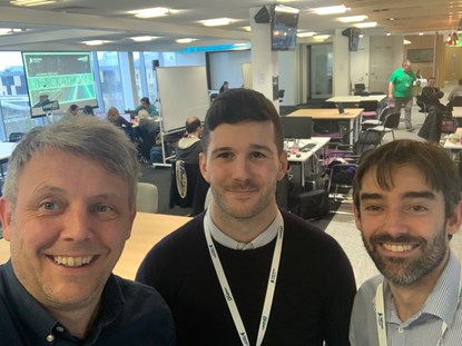
 On the 8th February, a 1Spatial team consisting of myself (Harry Sturley), Mark Bell, and Alex Bridges travelled to Milton Keynes for the Highways England Hackathon hosted by the Connected Places Catapult. We then had the task of identifying a problem to take on for the Hackathon, and the mission of sorting through the labyrinth of data provided to decide which to use for our challenge. We opted to merge Highways England’s historical and current road network datasets and map this data against road accidents in order to identify peaks in the road network. Our aim was that this solution would meet Highways England’s key objectives of; safety, customer service and delivery of the road investment strategy.
Over the course of the next 24 hours we were able to produce a complete solution from start to finish by utilising a selection of the customisable off the shelf (COTS) software tools that 1Spatial are experts in. Alex used FME to prepare the data and create the joins between the two network datasets. Before we connected to the data in ArcMap in order to symbolise and publish the data locally for use in Geocortex Essentials, where I created a web mapping application. In addition, we were able to scrape live accident data from Twitter and geolocate this within our Geocortex web mapping application, utilising out-of-the-box heatmap and clustermap functionality to improve data visualisation. To complete the challenge, we worked late into the night on Saturday, turning in around 2am to try and catch some sleep before a final push on Sunday morning to then present our solution to the judges. When the final hour rolled around with our solution all but finished, we decided it was time to refuel and squeeze in a break to make use of some of the great facilities provided by Connected Places Catapult, which included a ping pong table, a VR gamestation and an F1 simulator!
Then it was time… With storm Ciara lashing down outside, the presentations began. Over 20 teams competed providing an interesting variety of presentations with a multitude of innovative solutions on show. Mark took the reins for presenting and was able to impressively articulate our solution to the team of judges, keeping a keen focus on the Highways England objectives and explaining our complete solution, all in under 4 minutes! Unfortunately, luck was not in our favour and we were not crowned winners on the day. Nonetheless, we were able to work together effectively as a team and produce a robust solution using 1Spatial software products. Thank you to Highways England for having us and to Connected Places Catapult for hosting a fantastic event!
Written by Harry Sturley, GIS Consultant, 1Spatial

