No 1 Aeronautical Information Documents Unit


No 1 AIDU feeds forces with accurate aeronautical information
No 1 AIDU (No 1 Aeronautical Information Documents Unit) was formed in 1953 to provide the UK’s Royal Air Force with specialist aeronautical cartographic information. Today, still at the forefront of air cartography world-wide, AIDU is part of the JFIG (Joint Forces Intelligence Group). It is charged with providing maps, charts and aeronautical data to defence aircrew, air traffic controllers and aerospace battle managers of UK and allied military forces. This information is critical for mission and flight-planning all across the world. As part of an intelligence sharing agreement with the US, AIDU takes specific responsibility for maintaining geospatial data for the UK, Europe, North Africa and the Middle-East. AIDU also shares data with Canada, Australia and New Zealand.
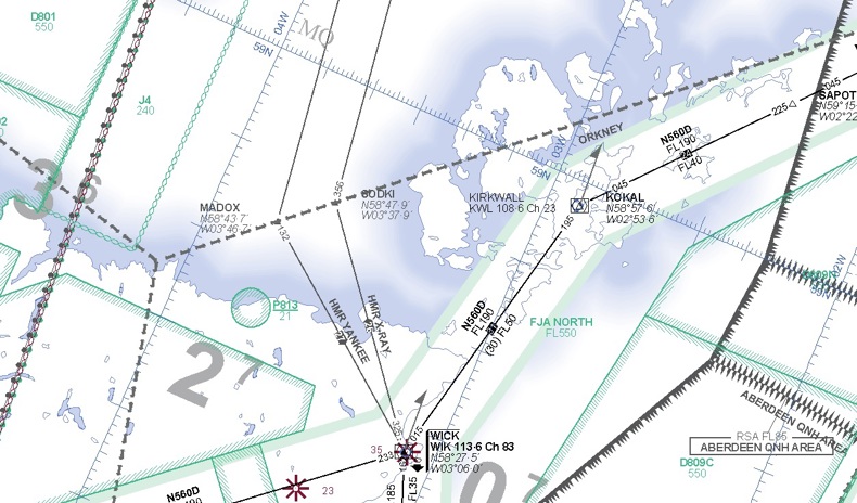
The accuracy, consistency and currency of geospatial data used for flight planning is vitally important and is ensured by strict adherence to a 28 day AIRAC (Aeronautical Information Regulation and Control) cycle. AIDU had a system where each air chart was held as a separate database. With the necessary overlap between charts, a single feature could appear on several charts and in several corresponding databases. For example, London features on eleven separate charts. A relatively minor change (for example, Heathrow airport being renamed as “London Heathrow”) would require updates to eleven different databases. With many updates such as this required on a regular basis this would consume a huge amount of time and introduce the possibility for inconsistencies between charts.
The creation of a new “custom” chart would take months of effort, requiring the creation of a new chart database, populating that with data, validating the data and then manually laying out the resulting chart for clarity.
APS: a single database with highly automated updates
AIDU wanted a simpler way to maintain its geospatial data; one that made the maintenance of data more efficient, reduced the potential for inconsistencies and which automated the production of charts and chart data.
AIDU selected 1Spatial to help design and deliver a new solution known as the Aeronautical Production System (APS). At the core of APS is a single, object-oriented database that holds geospatial data covering the entire globe. The database conforms to DAFIF (Digital Aeronautical Flight Information File), the international military standard for aeronautical data but combines additional data, such as DVOF (Digital Vertical Obstruction Files), which is important to UK forces.
By taking an object-oriented approach, 1Spatial was able to introduce a degree of “intelligence” to the data. With a temporal model, time-sensitive information can now be added as soon as it is known, to become active during the appropriate period.
Data-points’ intelligence also includes “remembering” how and where to place labels on digital and printed charts for maximum readability. Any manual adjustments made to automatic placements are also remembered by the system and replicated in future versions of the chart.
In designing APS, 1Spatial deployed a set of data management tools, some of which are now packaged as 1SMS (the 1Spatial Management Suite). 1SMS manages the end to end process of planning, maintaining and publishing data, ensuring it is always secure, accurate and in a validated, publishable state.
Smoother, more efficient data management
APS has made AIDU’s management of aeronautical data much more efficient.
AIDU’s Corporal Richard Jennings explains; "with APS, we make an amendment to the database once and, regardless of how many charts include that item, the single change covers all of them. And, we can change it today for whenever we want it to be effective. A good example is the 2012 London Olympics. We knew two or three years in advance that we would be imposing a three month Danger Area over certain locations where no-one would be allowed to fly. In the old system, we would have had to wait until that became effective, apply it to each individual chart and then remove it when the period had lapsed. With APS, we simply entered the information as soon as we knew; everything else happened automatically.
The ability to enter data as soon as it is known, rather than waiting for an appropriate point in the AIRAC cycle, has eliminated the huge spikes in activity that the unit had previously had to manage. DVOF data, which previously took two personnel the full 28 day AIRAC cycle to update, can now be processed in just two days.
Greater operational agility
AIDU’s ability to respond to requests for output has also improved as a result of APS. With the production of digital DAFIF files and physical, paper charts now largely automated, AIDU has more time to focus on the aesthetics of those charts. This is not simply a case of making prettier paper maps; paying attention to the display of critical data makes charts easier to interpret, simplifying the aircrews’ job at times of stress.
APS has also made it possible to create custom charts for any route, in any part of the world. What was previously many month’s work can now be achieved in a couple of days, again making relevant information easier for aircrew to interpret.
Easier intelligence sharing
Having accurate, consistent and current data in a single database makes it much simpler for AIDU to create data extracts for sharing with other units and with allied forces. APS further facilitates this by enabling AIDU to extract data so that it is compatible with previous versions of the DAFIF standard.
A collaborative partnership
"1Spatial has a good understanding of what’s required and over the last couple of years we’ve developed a very collaborative relationship. It’s helped us massively. Not only does it save us a lot of time and money, but it means we end up with the best solution for our needs."
Corporal Richard Jennings, No 1 AIDU