Energy
Enabling the decarbonisation and digitalisation of energy infrastructure through spatial data excellence
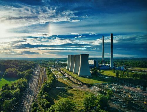
The energy transition is accelerating bringing new demands for smarter networks, cleaner energy, and faster, data-driven decisions. At 1Spatial, we help electricity and gas networks, as well as renewable energy developers, unlock the full value of spatial data to streamline planning, ensure compliance, and build more resilient infrastructure.
Our technology and expertise combine to deliver high-integrity, integrated datasets and automated workflows that reduce risk, increase operational efficiency, and support a secure, low-carbon energy future.
Customer Challenges and 1Spatial Solutions
Challenges
- Incomplete, outdated or siloed asset data
- Legacy data issues leading to reduced planning confidence
- Labour-intensive, complex and manual permitting, compliance and stakeholder engagement processes
- Disconnected technology environments and fragile data pipelines
- Pressure to accelerate the deployment of renewables and decarbonisation projects
Solutions
- Enterprise-scale data integration, cleansing and conflation to deliver single source of truth
- Proven automation technology to identify, resolve and prevent data debt across the asset lifecycle
- Automated, repeatable workflows that accelerate planning and ensure regulatory alignment
- Generative technology for cost efficient, auditable, network-wide gap filling in asset data
- Robust data supply chains that integrate with Esri, FME, SAP, Maximo and more

Contact Us
For help getting your geospatial data into shape and keeping it that way, please contact us.
Contact Us