

Why Subsurface Information Sharing Matters Now
PART ONE
Collaboration Through Subsurface Information Sharing: Why It’s Becoming Essential for Infrastructure Success
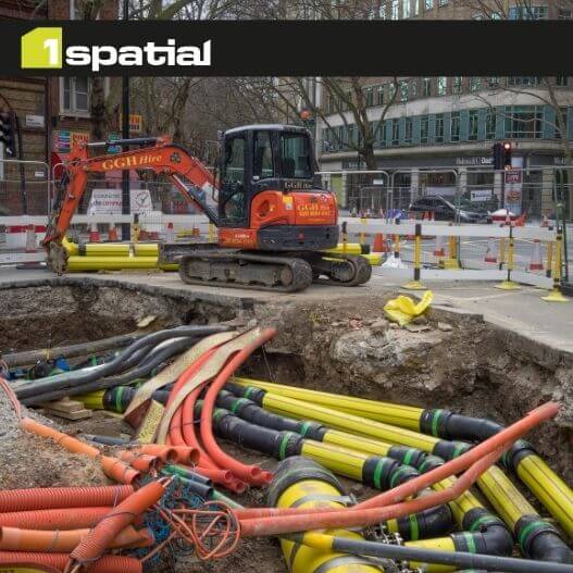
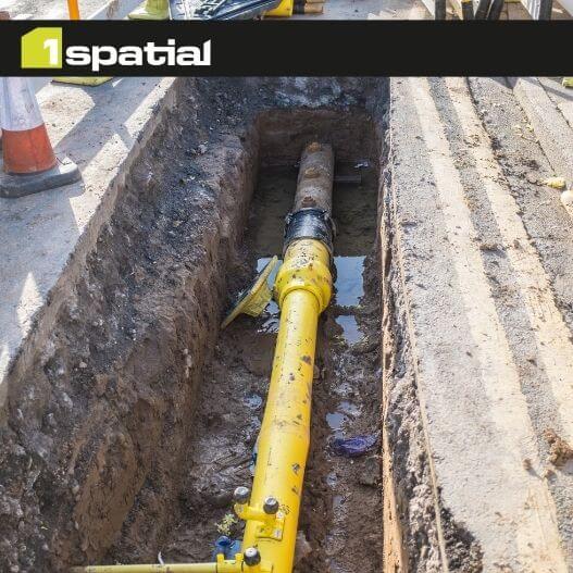
Across the UK, infrastructure projects continue to face familiar challenges: utility strikes, costly delays, incomplete ground data, and fragmented information all held in silos. Yet much of this risk is preventable. Subsurface information sharing is emerging as one of the most powerful ways to reduce uncertainty and the industry is now reaching a tipping point.
The Cost of Not Knowing What’s Below
Every year, thousands of accidental utility strikes occur during excavation which results in injuries, service outages, as well as expensive repair work. These incidents aren’t just operational headaches, they are part of a deeper issue: teams don’t have access to reliable subsurface information when they need it.
Delays can add millions to project budgets, while engineers and contractors often waste days chasing data from multiple asset owners.
The Opportunity: Reducing Risk, Cost, and Carbon
When subsurface information is shared early and consistently:
- Designers reduce the likelihood of clashes and costly rework.
- Contractors can excavate with greater confidence, lowering the risk of strikes.
- Asset owners spend less time responding to data requests and more time focusing on value.
- Project teams can adopt techniques and make more sustainable design choices.
- Organisations gain the foundation for digital twins that support long‑term asset resilience.
A Sector Moving Toward Standardisation
Several UK initiatives are reshaping expectations around subsurface information sharing:
- NUAR (National Underground Asset Register)
- PAS 128 utility surveys
- AGS geotechnical data standards
- ISO 19650 information management principles
These frameworks are accelerating a cultural shift toward structured and interoperable data with organisations working more collaboratively as a standard, not an exception.
Why Now?
The industry is facing increasing pressure. Subsurface information sharing is no longer a technical nice‑to‑have, it is becoming a strategic necessity.
The UK government is now exploring extending subsurface data governance beyond utilities, to include geotechnical and ground investigation data, addressing long‑standing fragmentation in construction data.
Next article: How organisations can make subsurface information shareable using GeoIM and FAIR data principles.
Article Written by
Matt White, Senior Business Development Manger, 1Spatial

Get In Touch!
How do you see initiatives like NUAR transforming the way we build and maintain infrastructure? Contact us to explore collaboration opportunities.
Contact us