The Hidden Power Behind Renewable Energy Success - Part Four
Exploring the Potential of Inference for Renewable Developers
Once automated data governance is in place, renewable developers reach an interesting inflection point. Their data is cleaner, better structured, and consistently validated. But even with strong governance, gaps remain – missing attributes, incomplete coverage, or unverified details that can limit decision-making.
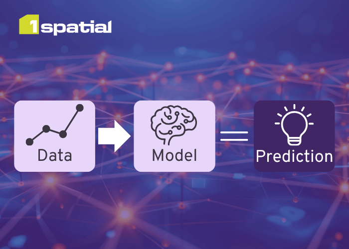
In the utility sector, these same challenges have led to inference: a family of techniques that use spatial logic and machine intelligence to estimate or reconstruct missing data. It’s been valuable where data is dense, networks are continuous, and operational risk is high. But does the concept translate meaningfully to the more open, fragmented data landscape of solar and wind development?
Where governance takes you, and where it stops
Automated data governance is transformational for managing information. By embedding validation rules into data supply chains, organisations move from reactive, one-off data cleansing to continuous assurance. Errors are intercepted before they propagate, and data quality becomes sustainable rather than cyclical.
That foundation takes an organisation a long way. But it still can’t answer every question. Governance can tell you what’s wrong or missing, but it can’t fill the gaps. This is the point where inference starts to look interesting: can we use patterns in existing data to intelligently estimate what isn’t directly observed?

Inference in context
Inference emerged in the utility sector, where every asset connects physically to another. A missing record can be logically reconstructed from what surrounds it – guided by business rules and, increasingly, machine learning.
In those environments, the economics stack up. Each data gap carries operational and regulatory risk. Filling them improves safety, compliance, and long-term asset performance. The technical and business cases reinforce one another.
For renewable developers, the landscape is different. Project data is typically event-driven, location-specific, and dependent on third-party sources. The continuity that makes inference powerful in utilities is not repeated here. That doesn’t make the idea irrelevant, instead it points to more selective application.
Practical relevance and limits
There are situations where inference could add value for developers:
- Filling gaps in land ownership or tenure classifications for unregistered parcels.
- Predicting likely network connectivity or substation capacity where official datasets are incomplete or outdated.
- Informing optimal or probable access routes to potential sites where no surveyed access data exists.
Whilst each situation is plausible, the business case for pursuing inference depends on how often those gaps occur, how critical they are, and how costly they are to resolve manually. In many cases, the technical overhead of inference may outweigh its marginal gains.

Inference, then, isn’t an immediate next step for every developer. It’s better understood as a frontier technology. One that’s worth monitoring, testing selectively, and integrating only where it demonstrably reduces risk or accelerates decisions.
Why it still matters
Even if inference remains aspirational for most, the discussion itself is valuable. It highlights how far modern governance and automation can take developers today, and how much potential still lies ahead – a world where data quality is not only preserved but actively improved by intelligent systems.
Looking ahead
Across this series, we’ve followed a progression:
- Why geospatial data matters,
- How to build scalable foundations,
- How to automate governance,
- and now, where the limits of current automation lie.
The next logical question is: what new possibilities open up once those foundations are in place? For developers with mature geospatial governance, opportunities like automated multi-site screening are within reach and this is where we focus next in the series.
Closing thought
Inference marks the horizon of what’s technically possible, but the real momentum right now lies in maximising what strong governance already enables. As renewable developers mature their geospatial strategies, the opportunity shifts from fixing data to using it – to automate, optimise, and scale decisions across entire portfolios.
Article written by Andrew Groom, Head of Energy
Get in touch if you’d like help reviewing your current geospatial workflows.
How confident are you that your geospatial data strategy will keep pace with your growth plans? If this is an area you’re working on? I’d be interested to hear what’s proving effective, or where the challenges lie.
Contact