Law Enforcements
Police Data Quality Hub
Improve location data accuracy and gain confidence in your police force data
In policing spatial data quality is key to day-to-day operational decision making. Incomplete or outdated location data such as address records can lead to inaccurate decision making in terms of police intervention, resource allocations and prevention of crime. Our Police Data Quality Hub enables you to take control of your geospatial data quality, by implementing automated rules, to manage and validate your location data.
Avon & Somerset Police Proof of Concept (POC)
Spatial data quality is key to operational decision making in policing. Incomplete or outdated location data (e.g. address records) can affect the speed of evaluation and analysis of a situation. It may also lead to inaccurate decision making, incorrect resource allocation and missed opportunities to prevent crime.
Our range of applications are powered by our rules-engine, 1Integrate, providing a no code library of data quality rules which validate if data is fit for purpose.
Each application has been designed collaboratively with the Police, for the Police. As our community grows, we are developing more applications to share with our members.
What is your challenge? You can pick and choose from our available applications - see below the list of applications that we currently offer.

FREE DOWNLOAD
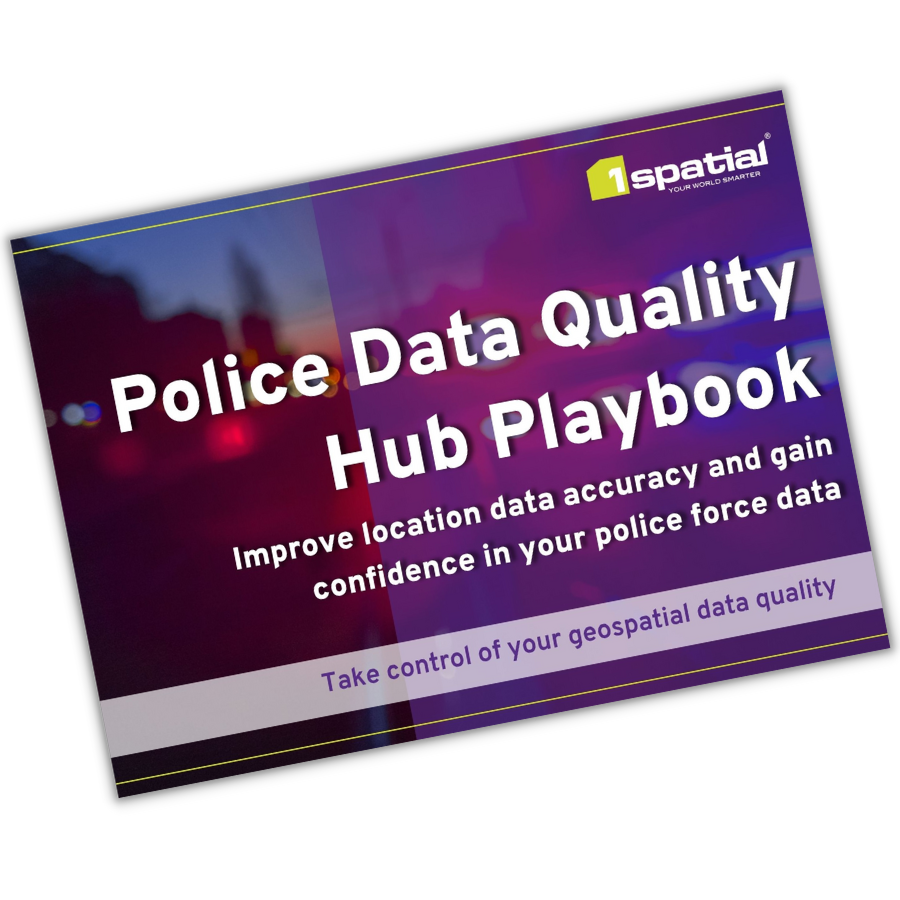
Police Data Quality Hub Playbook: Improve location data accuracy and gain confidence in your police force data
Download our police playbook to learn more about the importance of location data in policing and how 1Spatials Police Data Quality Hub enables you to take control of your geospatial data quality.
FAQs
You can find the answers to our most frequently asked questions on the Police Data Quality Hub.
Find out moreJoin the community on LinkedIn
A community for like-minded global professionals in the public safety industry to share ideas, thoughts and content about the latest developments in the geospatial industry as it relates to emergency services.
Join nowWhy 1Spatial
- Speed to deployment: Unlike other providers, with 1Spatial, an initial implementation can be stood up within a matter of weeks.
- Scalability and processing speed: Our technology can handle large volumes of data, from multiple data suppliers, without placing undue demands on internal storage and processing capabilities

