

Automated Harmony or Destined for Discord?
It can be hard to justify the cost of maintaining 3D data to the same standard as 2D data. Seb Lessware, 1Spatial's CTO, asks if computerised synchronisation might be the way forward.
For decades, we have relied on spatial data agencies to provide us with an accurate representation of the natural and man-made landscape. As tools, technologies and standards have evolved, so too has the quality and richness of the spatial data maintained by these organisations.
Whilst the detailed 2D footprint delivered by traditional surveying and production methods has served us all well, users are increasingly looking to 3D data to provide them with in-depth spatial solutions – from urban noise simulations to calculating solar energy capacity and visualising the view, aspect and position of properties for taxation purposes. Indeed, it is already good practice for construction companies to hand over 3D data as part of the ‘as built’ record at the end of a project as part of the increasing adoption of Building Information Modelling (BIM) techniques.
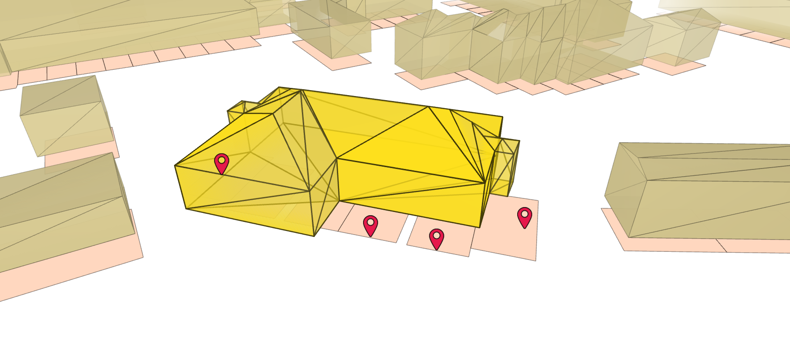
The use cases for Digital Twins and Smart Cities are driving the business case for capturing national authoritative datasets of 3D data and it is become much more cost effective to do so with the use of drones, airborne LiDAR and other sensors, as well as more traditional photogrammetry or site surveys.
For national authoritative spatial data producers however, it can be hard to justify the cost and effort of maintaining 3D data to the same rigorous standard as the 2D information for which they are so well-known.
Read the full article to hear Seb's approaches to managing and maintaining 3D data and some of the limits we will have to learn to live with.