Geocortex and Accessibility
Increasingly in the GIS world accessibility is becoming more and more important. Accessibility is the degree to which a product, device, service, or environment is available to as many people as possible. Accessibility can be viewed as the "ability to access" and benefit from some system or entity.
For those of you that don’t know about Geocortex, let me give you a brief overview. 1Spatial became the UK and Ireland reseller in 2012 and we work across many verticals including Government, Utilities and Transport, to help ArcGIS users get the best out of their investment.
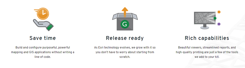
So, if you’re considering custom development within your ArcGIS environment, Geocortex provides an alternative but complementary path to help you configure, extend, and preserve what you’ve already built, without the need for costly custom coding.
Geocortex provides a versatile framework for extending Esri technology, helping you to build and manage targeted, powerful web mapping applications that maximise the possibilities of Esri’s Web GIS technology.
As well as our expert consultants, we also have a team of experienced trainers on hand to get you skilled up. The team regularly host webinars throughout the year, so take a look at the events and training schedule and lets see where we can help you and your organisation.
If you have missed a webinar or want to re-watch the content again, you can visit our On-Demand Webinars section, where you will find plenty to choose from.
Now, back to the subject in hand. I recently discovered that Geocortex already has WCAG 2.0 compliant viewers. WCAG is the Web Content Accessibility Guidelines (WCAG) 2.0 that is a technical standard with the goal of providing a single, shared standard for web content accessibility.
It’s important to be able to make the software accessible to as many users as possible, after all this is browser based.
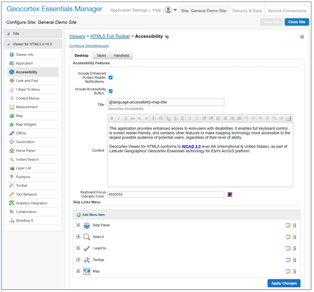
(A screenshot of the Accessibility Configuration in the HTML5 Viewer)
Within the Geocortex Viewers you can enable a screen reader, which will read aloud the information for area that you are hovering over in the viewer. So, if you click in the map view the screen reader will say aloud the number of features that are being displayed for each feature class that is toggled on.
This got us thinking as to what else could be done with say, using a workflow. We experimented with using a workflow to use voice to the give us the answer to a query. In the workflow the user enters an address, then zooms to the map to the address, creates a buffer around the address and then searches for particular information within the buffer, such as doctor surgeries. When the workflow pops up an alert on the screen, the screen reader reads the information in the alert and uses voice to give us the result, just like we were in a conversation.
This is a fantastic way to extend the Geocortex capabilities, making the software truly accessible. I hope this has been a useful and insightful read.
If you’d like to know more about how Geocortex could be of benefit to your organisation, you have a question or would like to know more about our training programme, please get in touch with us.
You might also like to read the recent Remote Training blog, my colleague Harry wrote.
By Chris Wright, Geocortex Division Manager