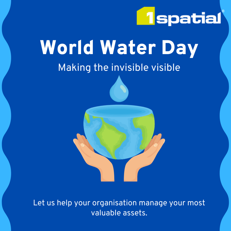
World Water Day 2022: Making the invisible visible
At 1Spatial we are celebrating Global World Water Day to recognise the importance of water in global sustainability. We are proud of our role in unlocking the power of data in water infrastructure projects for our clients and the contribution these inputs make for a safer, smarter and more sustainable world.
What is World Water Day?
World Water Day is on 22 March every year. It is an annual United Nations Observance, started in 1993, that celebrates water and raises awareness of the 2 billion people currently living without access to safe water. A core focus of World Water Day is to inspire action towards Sustainable Development Goal (SDG) 6: water and sanitation for all by 2030.
Groundwater: Making the invisible visible
This year’s theme is groundwater, an underground resource that although not seen, impacts many aspects of our lives. Groundwater is a precious resource that nearly all freshwater originates, and it needs to be managed sustainably and effectively, to bring value to the public and our world. Exploring, protecting and sustainably using groundwater will be central to surviving and adapting to climate change and meeting the needs of a growing population.
1Spatial’s role in water projects
Water and wastewater organisations are continuously trying to balance the needs of the customer and efficiency of delivery, whilst protecting the natural environment. 1Spatial plays a key role in the water industry. We work with many utilities within water and wastewater on a wide variety of projects, enabling them to successfully manage their most valuable asset; water.
We’ve listed some of the ways that we currently support water management projects for improved efficiencies, reduced costs and better management.
Reducing water leakage
Water leakage detection is a vital but difficult task for utilities organisations. Water utilities want to avoid leakage of their assets wherever possible to limit cost and reputational risk associated with such events.
Our leakage solution provides a faster, better, data-driven approach for predicting and identifying assets that are at risk of water leakage. Find out more
Sewer inference for greater water efficiencies
Understanding and mapping/surveying a sewer network can be a time intensive, field-based task.. In collaboration with water and wastewater SME’s, 1Spatial has designed an inference solution to infer the location and depth of buried assets. This model is based upon known business rules and is capable of learning over time to become increasingly accurate.
It’s estimated that the project will help the water company save over £400,000 over three years, with efficiencies coming from the likes of reduced roadwork delays and less damages to pipework. Find out how Northumbrian water have used our inference solution
Improved water and wastewater network management
1Water, one of our new software products, enables organisations to improve their water and wastewater network management, thereby improving water and wastewater supply services related to quantity, quality, sustainability, reliability and cost.
It allows for the modelling, management and operation of water and wastewater networks at a level of detail that has never been possible before.
In France, 1Water is being used to support selected utilities providers for the safe and reliable supply of water while ensuring regulatory compliance. Find out more
Automated water data validation
Managing a precise description of water, sewerage and recycled water, which is accurate enough to be used for commercial and engineering decisions, is a major undertaking.
We are helping North East Water in Australia to validate and upload as-built CAD drawings of new infrastructure relevant to North East Water’s specific standards. The company provides water and sewage services to a population of around 110,000 people in 39 towns in north-east Victoria in Australia.
With automated validation of as-built designs, the time previously spent helping correct CAD drawings manually is significantly reduced, thereby contributing to greater efficiencies and cost-savings. Find out more
Automated water data conflation
Every year, the United States Geological Survey (USGS) collects data to assess the quality of the USA’s water resources. The National Hydrography Dataset (NHD) is a GIS-based digital vector dataset that is used to define the spatial locations of surface waters to provide comprehensive coverage of surface water data for the U.S.
The collection of water quality data leverages remote sensing and LiDAR tools. These new data sets must be integrated and conflated into the existing dataset layers while maintaining all the rich metadata within the source dataset.
The current conflation process used by USGS is difficult to maintain and does not scale to handle the more complex data collections from newer technologies. 1Spatial has created a self-service conflation portal to integrate these complex datasets and perform the conflation process at speed.
Flooding in Australia
If you are based in Australia and have been involved in the remapping recovery process for the New South Wales and Queensland floods, 1Spatial Australia - together with Safe Software - would like to offer our support.
We are offering a FREE 6-month licence to any organisation that has been involved in battling through the recent floods. Contact our Australian office to find out more
Speak to an expert
Wherever you are in the world, we want to help your organisation manage your most valuable assets. Please contact us if you are interested in finding out how we can help you.